
Harvest
Forecasting
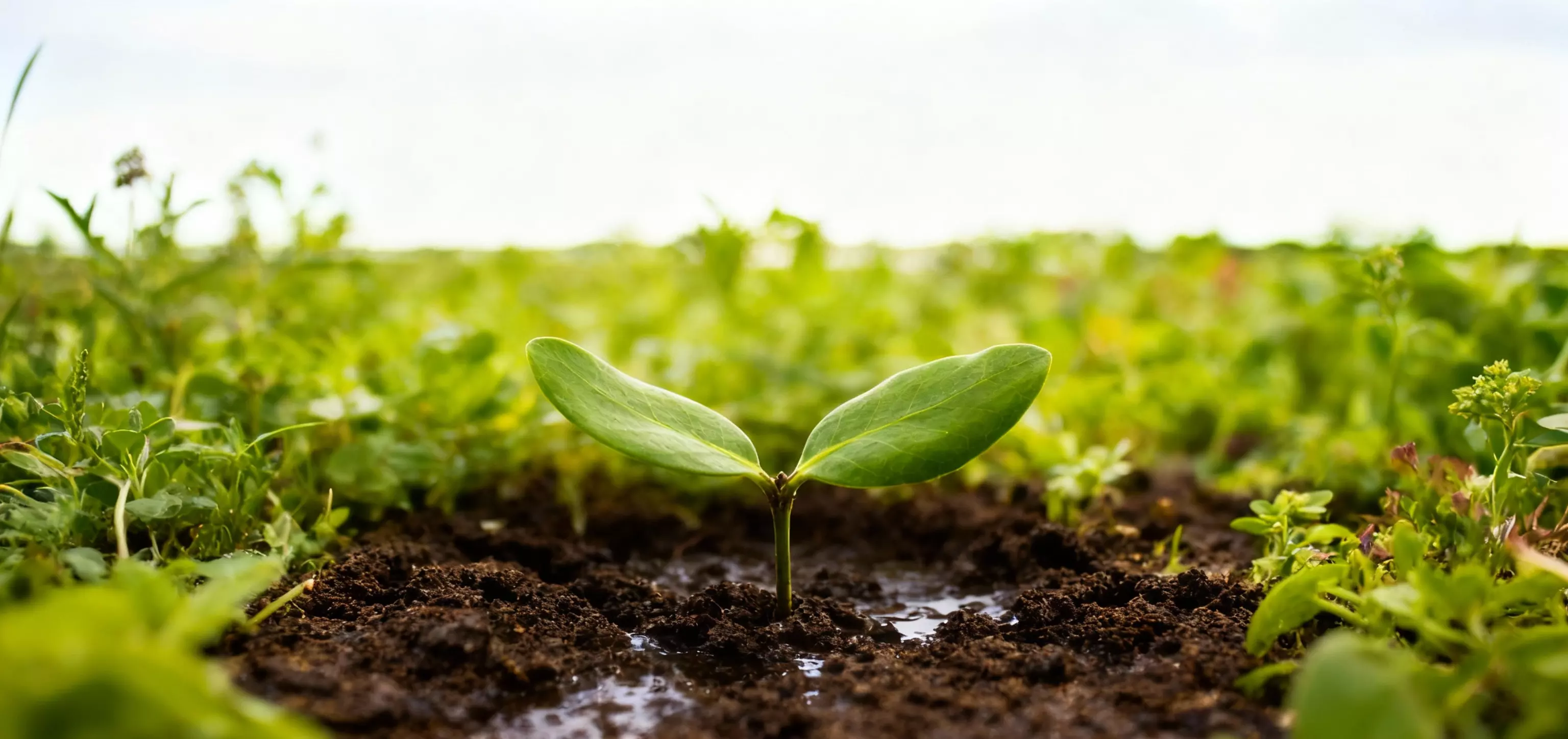
Smarter Harvest. Sustainable Future.
Harness satellite data and AI-driven analytics to predict harvest outcomes, monitor drought levels, and optimize field productivity all in one powerful web-based platform.
Smarter Harvest. Sustainable Future.
Harness satellite data and AI-driven analytics to predict harvest outcomes, monitor drought levels, and optimize field productivity all in one powerful web-based platform.
Visualize and forecast crop growth cycles with real-time data and predictive analytics for better planning and yield management.
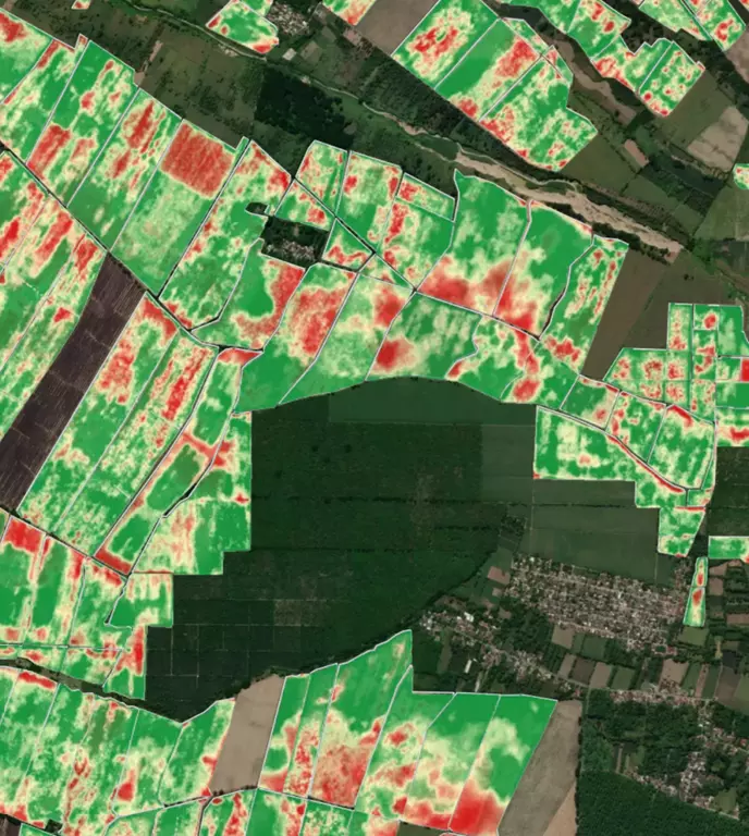
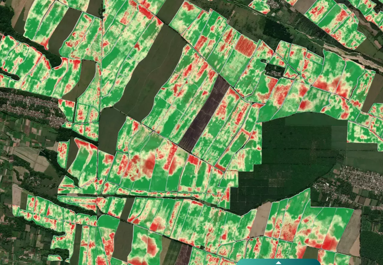
Track soil moisture and dryness patterns using satellite based drought indicators to minimize productivity loss during dry seasons.
Measure chlorophyll, NDVI, and EVI values to monitor plant health and detect early signs of stress or nutrient deficiency.

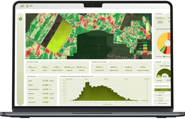
Generate insightful visual reports and export data for management reviews, research, or strategic planning.
A web-based intelligence system for agricultural analytics, yield prediction, and drought monitoring designed to support data driven decision making for sustainable plantation management.